Partners
ULiège (Ugeom)
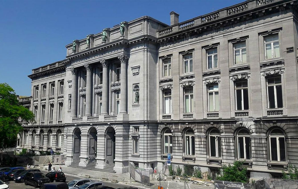
Who are we?
The Geomatics Unit of the University of Liège is active in disciplines such as geodesy, topography, photogrammetry, remote sensing, geographic information systems (GIS), cartography, spatial analysis and scanner survey technologies.
Research and teaching activities in these fields date back to 1986 at the University in Liège. However, the Unité of Geomatics, as such, was founded in 1997 by bringing together the chairs of topography, cartography and GIS, remote sensing and photogrammetry and in 2005 was joined by a chair of satellite geodesy and positioning.
Our expertise
Our expertise lies in the following areas:
- Geographic Information Science
- Remote Sensing and Photogrammetry
- Global Navigation Satellite Systems
- 3D Terrestrial Data Acquisition
- Archeological applications of geo-science
We are also active in the field of point cloud processing, virtual reality and archaeological information systems.

What do we do in the project?
The University of Liège is Lead partner of this project. They bring the different partners together and are in charge of the right implementation of the project as well as all financial and legal aspects.
In addition, they are also carrying out technical tasks related to a 3D model storage platform.
Moreover, they realize, in collaboration with the AWAP, an on-site experience aiming at highlighting the evolution of the Saint Lambert Cathedral through the centuries, thanks to 3D modelization and a Virtual Reality experience.
Finally, they are actively participating in the development of the historical content necessary for the production of inter-regional timelines.
